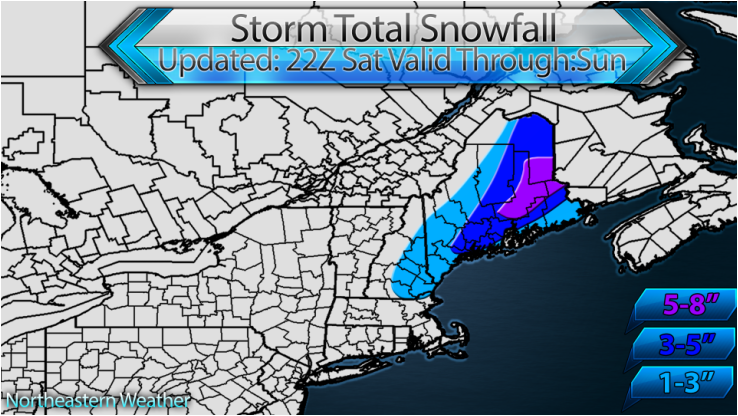
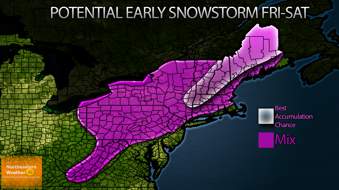
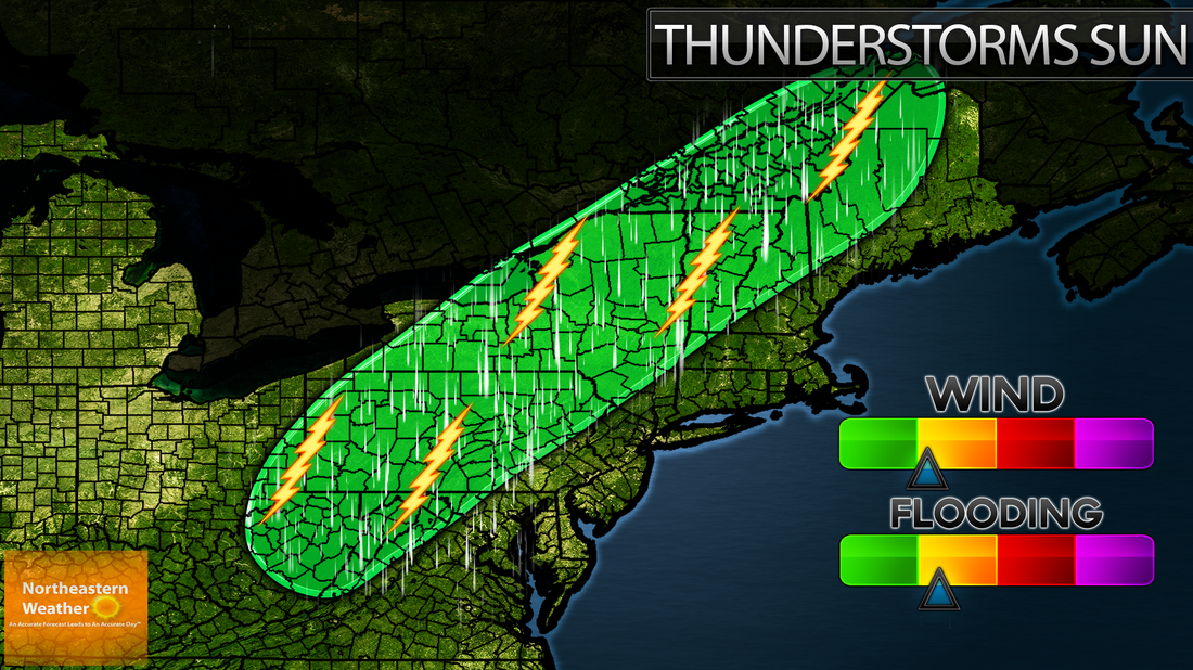
I was concerned Monday about the potential for a bit of snow to impact the northern-New England area. I am no longer concerned about this, high pressure and a positive tilt to the storm help kick it out to sea. However, read below about another potential threat for this Sunday into Monday. Note again the use of the word POTENTIAL.
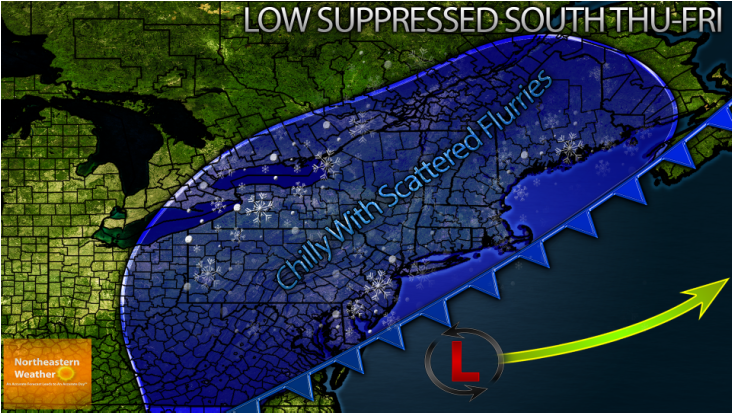
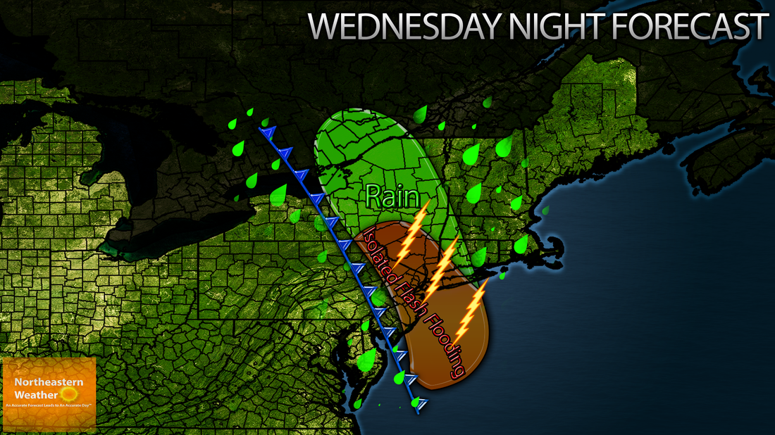
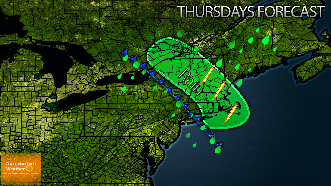
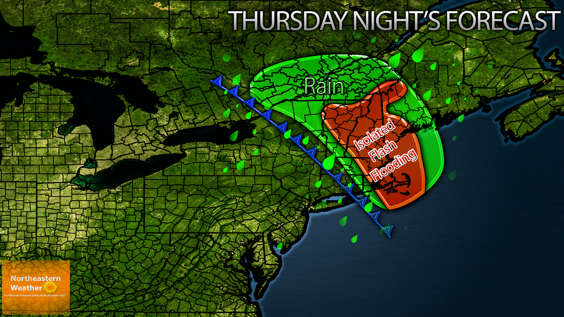
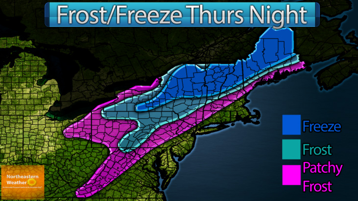
A BIG COOLDOWN is coming Thursday and Friday. Highs will be around 10-20 degrees colder than Wednesday's, with highs in the upper 30s common for the region. This arctic invasion is NOT due to the "Polar Vortex" (Which is POLAR, hence it stays in the POLAR regions". If you want a definition of the "Polar Vortex" , see here: http://en.wikipedia.org/wiki/Polar_vortex, it makes much morse sense than what some people were calling it (a very large pocket of cool air) (a large extra -tropical cyclone). But seriously don't listen to the whole "Polar Vortex" hype. This cool down and dry air will help to keep our storm system suppressed south and out to sea, without much issues for us. What you can expect Thursday and Friday though is the chance for a pop up flurry or shower, especially Friday morning. Highs will average 10-20 degrees below average (as I said above).
A BIG COOLDOWN is coming Thursday and Friday. Highs will be around 10-20 degrees colder than Wednesday's, with highs in the upper 30s common for the region. This arctic invasion is NOT due to the "Polar Vortex" (Which is POLAR, hence it stays in the POLAR regions". If you want a definition of the "Polar Vortex" , see here: http://en.wikipedia.org/wiki/Polar_vortex, it makes much morse sense than what some people were calling it (a very large pocket of cool air) (a large extra -tropical cyclone). But seriously don't listen to the whole "Polar Vortex" hype. This cool down and dry air will help to keep our storm system suppressed south and out to sea, without much issues for us. What you can expect Thursday and Friday though is the chance for a pop up flurry or shower, especially Friday morning. Highs will average 10-20 degrees below average (as I said above).
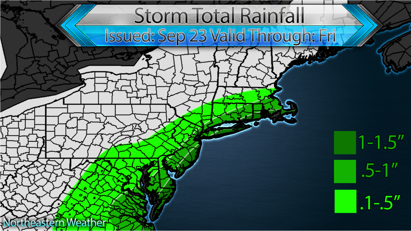
Now the focus turns to the potential for low pressure to ride up the east coast Sunday night into Monday. For now, this does look like a mainly rain event for the i95 corridor, with some snow inland and for Maine. However, this is a changing forecast, as we are still just under a week out, so stay tuned!

 RSS Feed
